Map Mastery With a Twist: Entries Open for QCNR Creative Mapmaking Contest
By Lael Gilbert |

Most people have a few maps rolling around in their head — the locations of favorite taco trucks; mental maps to the nearest bathroom; the cartography of dog-friendly trails near home. The trick is to get them out of your head and onto paper, where others can share your spatial experience, according to Shannon Belmont, director of the Geospatial Consortium in the Quinney College of Natural Resources.
Mapmaking should be an innate part of the human experience — one reason the Geospatial Student Group (Terra) and the Quinney College of Natural Resources at Utah State University are hosting a campuswide contest for creative mapmaking as part of Natural Resources Week.
The contest is open to students from across campus disciplines and will be judged in three categories … digital, hand-crafted, and maps created on-the-spot (with materials supplied).
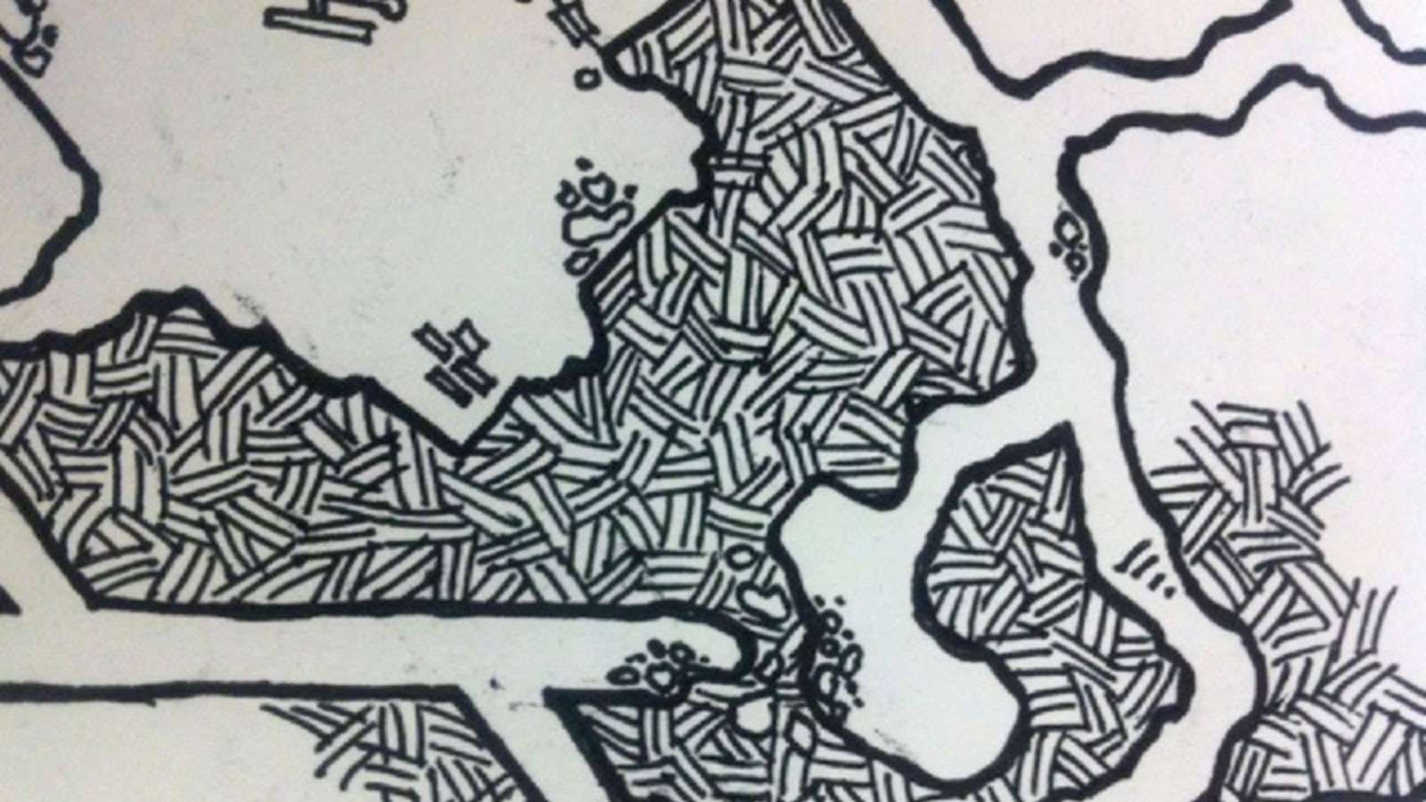
Don’t think you need expertise in cartography to produce an interesting map, Belmont said. Maps come in an assortment of shapes and sizes. They serve a range of purposes across disciplines — from documenting hidden spots across a familiar campus to conveying artistry for an imaginary geographic space.
Entries can make use of whatever medium feels appropriate — ink, pencil, crayon, watercolor, computer-aided design or even frosting or LEGO, Belmont said. “The medium doesn’t matter. A map just needs to creatively and effectively depict geographic space — fantasy or reality — as long as it is original work.”
Digital projects should be submitted to the Terra Club by 5 p.m. on Friday, March 24. All other map creations should be presented in print (or 3D) form in NR 105, no later than 4 p.m. on Tuesday, March 28. Entries will be displayed for voting 4:30 to 6 p.m. the same day. To qualify for a prize, the mapmaker must be present at the event.
Last year’s contest focused on “ugly” maps, and they sure found plenty, Belmont said. But this year the geospatial students in QCNR hope to get people’s creative juices flowing.
One student used ArcGIS to make a map of hometown, comprised solely of the names of the streets — it didn’t have any lines or place markers.
“It was a really cool monochromatic graphic depiction of a place that had meaning to him,” she said.
Another student created a map that was not necessarily graphically correct, but beautifully rendered of the mountain ranges in Cache Valley using augmented topographic lines. Another student submitted a map of their favorite running route that avoided mean dogs, and another submitted one with their favorite stops along a road trip.
“It’s really more about communication than precision,” she said. “And there will be prizes.”
WRITER
Lael Gilbert
Public Relations Specialist
Quinney College of Natural Resources
435-797-8455
lael.gilbert@usu.edu
CONTACT
Shannon Belmont
Utah Geospatial Consortium at USU
Senior Lecturer, Geospatial Analysis Director
435-797-9480
shannon.belmont@usu.edu
TOPICS
Clubs 83stories Outdoor 79storiesComments and questions regarding this article may be directed to the contact person listed on this page.


