Flying the Friendly Skies: Working to Reduce Bird-Airplane Collisions
By Daniel Carolan |

A flock of migrating American white pelicans flies through the sky over Fort Collins, Colorado. (Photo credit Jean Van Tatenhove)
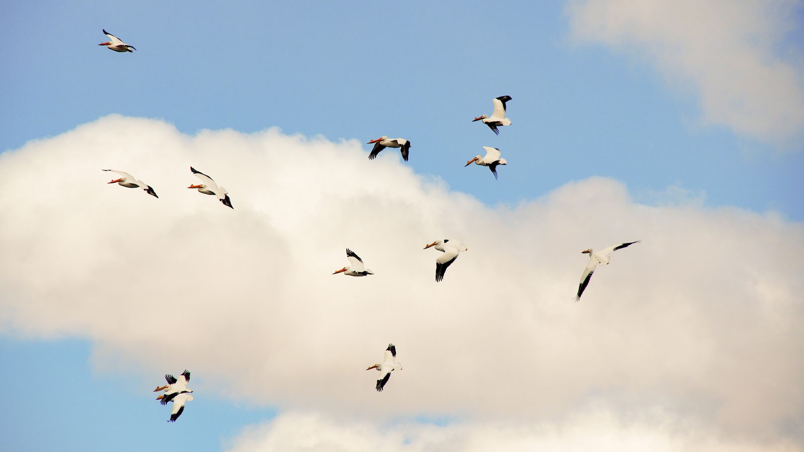
Research tracking the flight habits of American white pelicans could make it safer for aircraft to take to the skies.
Aimee Van Tatenhove, Ph.D. candidate in the Utah State University Department of Wildland Resources and Ecology Center, is finding ways to use radar images to track the movements of pelicans around the Great Salt Lake, an area the birds commonly use for breeding, nesting and as a stopover on their migratory routes. Preliminary findings earned Van Tatenhove an American Ornithological Society Student Presentation Award at a recent conference in Puerto Rico.
“I am working to quantify airstrike risk around Salt Lake City Airport,” Van Tatenhove said. “We look at radar rasters (images) in combination with a pelican GPS dataset we already have available from the Utah Division of Wildlife Resources to see if we can pinpoint where they have been, and to forecast their locations based on environmental conditions and time of year.”
By taking raster data from a radar station on the Promontory Mountains in the middle of the Great Salt Lake, overlaying them with known locations of pelicans in the GPS dataset, and running this data through a machine-learning algorithm, Van Tatenhove can determine whether pelicans are present in specific locations on rasters from the past four years. So far, even with a small dataset, the results have shown promise for determining where pelicans might be at different times of the day and year, Van Tatenhove said.
“We know that pelicans move around during the daytime, particularly in the mid to late morning when the landscape is starting to get warm,” Van Tatenhove said. “Morning seems to be more important than later in the afternoon and evening, especially from March to September when their numbers are highest.”
Pelican collisions with aircraft are a hazard, especially since the birds have been known to fly at altitudes up to 30,000 feet. Airports have the ability to detect birds by radar in real-time but filter out those readings to focus on air traffic. Having a forecast of pelican activity could help air traffic controllers manage the airspace more effectively, Van Tatenhove said.
Pelicans spend most of their time lounging on the ground, which makes their infrequent spatial movements difficult to study, Van Tatenhove said. Catching pelicans to fit them with GPS trackers is also a challenge because the birds are observant of changes to their environment, such as the appearance of a trap or net.
“These birds are very hard to catch and GPS transmitters are very expensive,” Van Tatenhove said. “We want to do a good job of picking out pelicans in the airspace without relying exclusively on GPS data.”
Collisions are also deadly for the birds, and pelicans are a species of concern in the Western U.S., Van Tatenhove said. Not having to fit GPS trackers to the birds means less stress for the animals, and using radar might give researchers a larger picture of their behavior at a population-wide scale.
While her research is still developing, Van Tatenhove is optimistic that it can be scaled up to help prevent midair collisions with pelicans and other birds in locations across the U.S.
“In the next couple years, we will incorporate more rasters and GPS points into the analysis,” Van Tatenhove said. “I am hoping to make this data even more useful to the airport and other ecologists.”

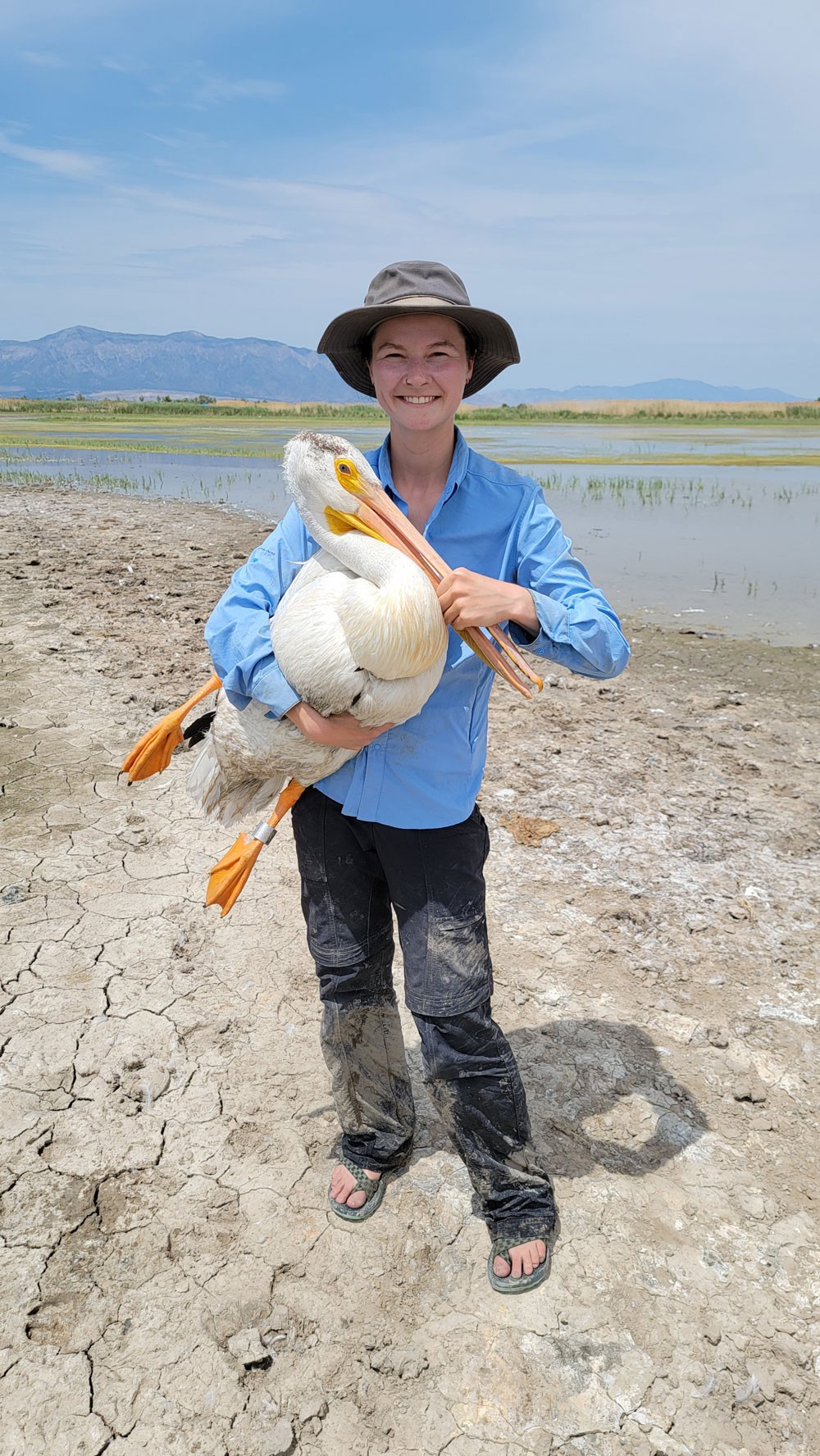
USU Ph.D. student Aimee Van Tatenhove holds an adult pelican with a GPS transmitter attached to it before releasing it in the Ogden Bay Waterfowl Management Area. (Photo credit Ann Neville)
WRITER
Daniel Carolan
Staff Assistant
Quinney College of Natural Resources
435-797-2463
daniel.carolan@usu.edu
CONTACT
Aimee Van Tatenhove
Ph.D. Student, Reporter
Wildland Resources & Ecology Center, Utah Public Radio
aimee.van.tatenhove@usu.edu
Comments and questions regarding this article may be directed to the contact person listed on this page.


